In today’s data-driven world, businesses are increasingly leveraging the power of geospatial analytics to derive valuable insights and make informed decisions. With the integration of ArcGIS and Azure Maps in Power BI, organizations can unlock a new dimension of analysis, enabling them to visualize, analyze, and interpret spatial data like never before. In this article, we’ll explore how this integration empowers users to create compelling visualizations and drive actionable intelligence within Power BI.
ArcGIS and Azure Maps Integration in Power BI
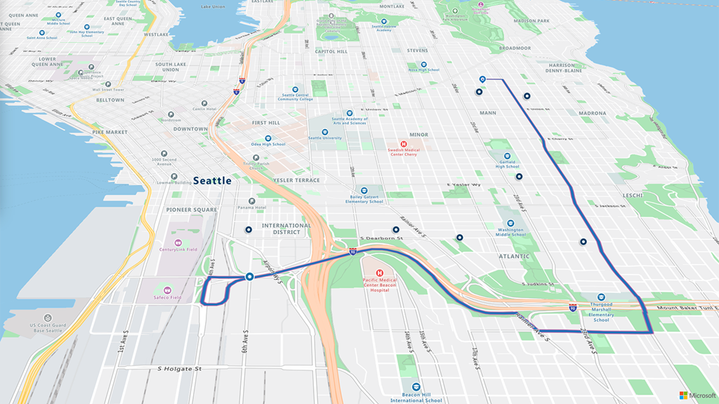
ArcGIS, developed by Esri, is a leading platform for mapping and spatial analysis, offering a comprehensive suite of tools for creating, managing, and analyzing geographic data. On the other hand, Azure Maps, part of Microsoft’s Azure cloud services, provides developers with geospatial APIs and services for building location-aware applications.
The integration of ArcGIS and Azure Maps in Power BI extends the capabilities of the platform by allowing users to incorporate rich, interactive maps into their reports and dashboards seamlessly. By leveraging the power of these two technologies, organizations can enhance their geospatial analytics workflows and gain deeper insights into their data.
Key Benefits:
- Advanced Geospatial Visualization: With ArcGIS and Azure Maps integration, users can create visually stunning maps within Power BI, enabling them to explore data spatially and identify patterns, trends, and relationships that may not be apparent in traditional tabular formats.
- Location Intelligence: By overlaying business data onto maps, organizations can gain location-based insights that help them understand the spatial distribution of their assets, customers, and operations. This enables more effective decision-making, such as optimizing sales territories, identifying new market opportunities, and mitigating risks.
- Real-Time Data Analysis: Azure Maps provides real-time geospatial capabilities, allowing users to visualize and analyze live data streams within Power BI. This enables organizations to monitor dynamic events, such as traffic patterns, weather conditions, and IoT sensor data, in real-time and take timely actions based on the insights gained.
- Scalability and Performance: Leveraging the scalability and performance of Azure cloud services, the integration ensures that Power BI users can seamlessly handle large volumes of spatial data and perform complex analytical tasks without compromising performance.
Empowering Dynamics 365 Users with Sumindex:
As organizations continue to embrace digital transformation, the integration of geospatial analytics with enterprise systems becomes increasingly crucial. Sumindex, a leading partner of Microsoft Dynamics 365, offers powerful solutions that enable Dynamics 365 users to harness the full potential of spatial data within their CRM and ERP workflows.
By partnering with Sumindex, organizations can unlock synergies between their Dynamics 365 deployment and Power BI geospatial analytics. Sumindex’s expertise in integrating geospatial intelligence into Dynamics 365 enables businesses to enrich their customer insights, streamline field operations, and drive better business outcomes.
Conclusion:
The integration of ArcGIS and Azure Maps in Power BI represents a significant advancement in geospatial analytics, empowering organizations to derive actionable insights from their spatial data with ease. By leveraging this integration alongside Sumindex’s expertise in Microsoft Dynamics 365, businesses can gain a competitive edge in today’s data-driven landscape.
For a free consultation on how Sumindex can help you unleash the power of geospatial analytics in Microsoft Dynamics 365, contact us at 9871640876 or email us at info@sumindex.co.in. Unlock the full potential of your data and drive smarter decisions with Sumindex today!